Mapping the Gap: Tesla Builds In-House Maps to Fix FSD Flaws
By Hugo Khalil ·
Tesla is finally acknowledging that its autonomous driving software needs a dedicated map layer to function reliably.
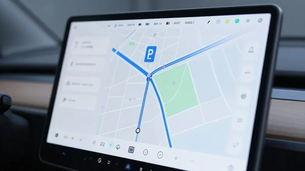
The company announced on its Q3 2026 earnings call that it is constructing a new AI-based mapping architecture. This internal system will replace reliance on third-party data to correct frequent errors in speed limit recognition, route selection, and parking. The initiative marks a significant strategic pivot for the automaker, which has long championed a vision-only approach to autonomous driving.
The decision stems directly from feedback regarding the current limitations of the Full Self-Driving system. During a shareholder Q&A, a retail investor highlighted that mapping remained a core issue, specifically citing problems with interpreting speed limits, identifying parking spots, and choosing standard routes. In response, Ashok Elluswamy, Tesla’s VP of AI, conceded that the company should not depend on external providers for this critical data.
The new technology is designed to leverage data collected from Tesla’s existing fleet to create a dynamic map that also learns individual driver preferences. Elluswamy stated that this system will initially manage the start and end of trips with the upcoming FSD v15 software. Over the coming months, the platform is expected to assume full control over navigation, parking, and destination handling, all while responding to voice commands.
This development contrasts sharply with the company’s historical stance. In 2015, Tesla began building high-precision maps, but by 2019, CEO Elon Musk had publicly dismissed such efforts as a "huge mistake" and a "really bad idea" that made systems brittle. He famously called lidar a "fool’s errand" and argued that cameras and AI alone were sufficient for driving anywhere. Seven years later, the company is implementing a fleet-built map layer to fix specific environmental understanding failures that vision alone has struggled to resolve.
Recent tests have highlighted these specific weaknesses. A Belgian road safety group found that FSD vehicles exceeded speed limits in 55% of the 30 km/h zones tested in Brussels, often because the car’s display showed an incorrect limit. In the United States, the NHTSA is considering an investigation into claims that Tesla Robotaxis speed through active school zones. These issues suggest that the current vision system requires supplemental data to reliably interpret simple road information.
This shift brings Tesla’s methodology closer to that of its competitor, Waymo. Both companies now utilize their vehicle fleets to map roads and keep data updated, though Waymo’s vehicles are equipped with lidar. For Tesla, this move aligns with its current Robotaxi operations, which run within geofenced service areas. As the map layer becomes more detailed, it may evolve into a more comprehensive dataset, addressing the long-standing debate over whether vision alone is enough for true autonomy.
Source: Electrek · original report published