Storm Boelo Slams North with 80mph Gusts
A second named storm of the season brings severe wind and rain to northern Britain, threatening travel and power grids.
By Sergio Morris ·
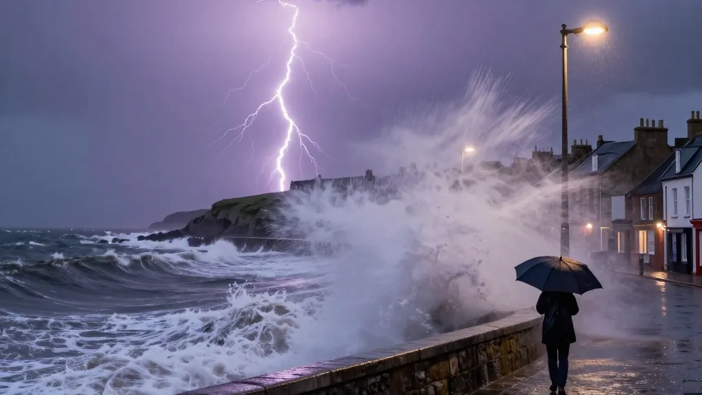
The tension in the northern regions of the United Kingdom has reached a critical point as severe weather systems converge on the coast. Residents and commuters now brace for the arrival of Storm Boelo, the second named storm of the current season. This atmospheric event promises to deliver intense gusts and persistent downpours, creating a volatile mix that threatens to upend daily routines. The timing is particularly significant because it follows closely on the heels of Storm Austen, which recently battered the south-west of England before drifting eastward.
Forecasters at the Met Office have issued an amber warning, their second most severe alert, for Scotland and northern England down to Carlisle. This high-alert period spans from 9pm on Saturday to the same hour on Sunday. A separate amber warning applies to the north-east of Northern Ireland, active from 9pm Saturday until 10am Sunday. Officials have strongly encouraged the public to remain indoors during these windows. They cite specific risks from airborne debris and crashing waves, which pose a tangible danger to anyone caught outside.
Broader yellow warnings cover the entire northern half of the country for very wet and windy conditions from midday Saturday to 9pm Sunday. Additional alerts focus on heavy rain in Wales and parts of western and southern England, lasting from 11am to 11pm on Saturday. Transport networks are already feeling the strain. TransPennine Express has advised passengers to limit non-essential trips on both Saturday and Sunday. Avanti West Coast has issued a strong recommendation for travelers to avoid journeys north of Preston on Sunday.
Energy infrastructure remains a major concern. The National Grid notes that over 3,700 homes in the south-west were still without power on Saturday morning, even though the peak outage affected 31,000 households on Friday. Meteorologists warn that similar blackouts could occur in the northern amber zones. Alex Burkill, a Met Office meteorologist, identified the winds as the primary threat. He noted that strong gusty winds will whip across Northern Ireland, northern England, and Scotland throughout the day, intensifying as evening approaches. He described the conditions as pretty unpleasant, noting that while temperatures sit slightly above the seasonal average, the combination of wind and rain will dominate the experience.
The storm peaks in intensity on Saturday evening. While wet weather is expected to clear overnight for many areas, persistent rain will continue to affect Scotland and Northern Ireland. This event arrives after a year marked by extreme weather patterns. Climate change continues to reshape global rainfall and temperature conditions. This year, the UK recorded its hottest summer on file, featuring five distinct heatwaves and a record 40 days above 30C. Prime Minister Andy Burnham addressed these shifts at a summit on record wildfires held on Friday. He warned that the nation may face a winter of greater flooding. He rejected claims that the government is lagging in civil preparedness but acknowledged that unexpected events are becoming increasingly common in the current climate.
The coming days will test the resilience of northern communities and their infrastructure. As the systems move through, the focus remains on minimizing disruption and ensuring public safety during the most intense periods of the storm.
Source: The Guardian